
The Sea to Sky trail is a 180km trail that will, one day, run all the way from Squamish to D’Arcy, north of Pemberton. The Squamish to Whistler route is in place, but the extension is still under development.
There’s a stunning section of it the runs from Brandywine Falls to Whistler that I’ve done a few times on my bike. I much prefer it on my mountain bike than my gravel bike because of the steep switchbacks in that last section after you cross the Cheakamus River and head into Function Junction.
The other section that I’m familiar with is heading north from Squamish. It goes from downtown, through Brackendale and out along Paradise Valley Road crossing creeks and rivers a number of times. Where the road turns to gravel it eventually swings right and then you’re riding along the Cheakamus River. At the campground you can head up towards the highway, but the only time I’ve attempted that, the river was too high, making the trail impassable.
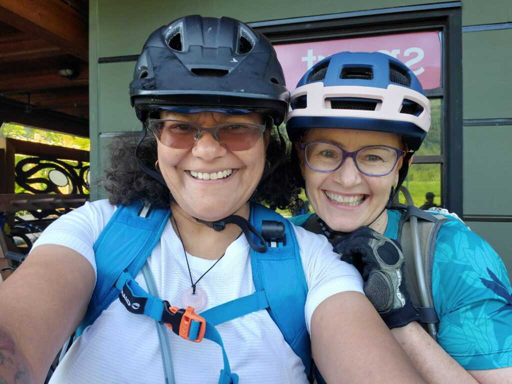
Linking the two pieces that I’m familiar with required some riding along the highway and I wasn’t clear on the navigation. So when I found out there’s an organized event to ride the trail from Whistler to Squamish, I took a closer look.
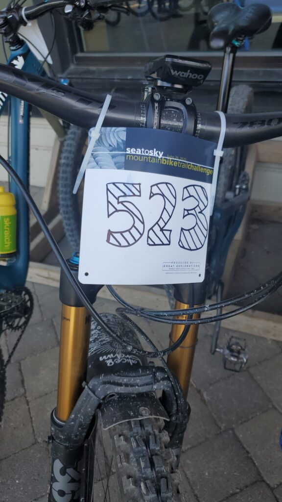
The option to ride it in the downhill direction, with support in the shape of a marked route and aid stations, with other people had a lot of appeal. A friend had first brought up the idea, so we signed up together for the 58km adventure that promised to be “mostly” downhill. It’s not a race – there’s no timing, but you do get a race place to identify you as a participant. It’s all very casual and your numbers is handwritten onto a blank branded plate when you check in.
Thank goodness Debra checked in first and I became aware of this process. When it was my turn I reached for a blank plate and asked if I may do my own. I did the numbers in block lettering and started to shade them. Luckily I realised that you weren’t really supposed to take 15 minutes to embellish your race plate, so I reluctantly handed the pen back and let the next person receive their plate with shoddy writing. Besides, all I had to work with was a black sharpie – so could not even add a hint of colour, no stickers, no sparkles, nothing!
On the morning of the event, breakfast was provided for all participants. It was a good way to gather and chat with some of the other riders. Debra met the sweep and got acquainted, expecting we’d be spending some time together throughout the day.
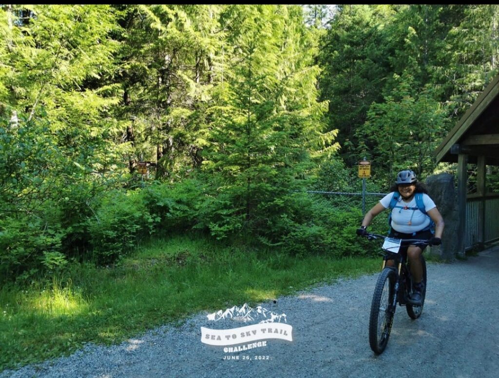
The 8am start from the athlete’s village at Function Junction at the south end of Whistler was ideal with midday temperatures forecast to reach 30C degrees (that’s 86F for any Americans who might be reading this). It was a lovely shaded swoop through the forest and across the river for the first time to get to Brandywine Falls and the fist aid station. Only an hour or so in we didn’t need replenishing just yet, but the watermelon was delicious.
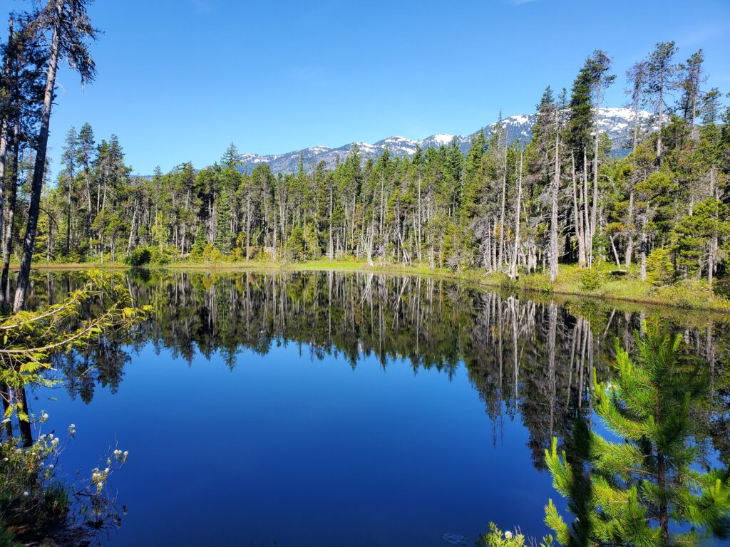
Back on the bike, we now headed onto the section of the course that was unfamiliar to me. We crossed the highway, and then rode along the highway to the Pincecrest exit. It was mostly downhill so a few fast kilometeres to get under your belt – or would that e under your tires. Past the reservoir, you dip back into the woods again. This is probably my favourite section of the trail. The forest was so lush and there was another creek crossing. The pedaling was fun and flowy on undulating, wide singletrack. The forest was so quiet and peaceful, it felt like you were in the middle of nowhere. So peaceful and undisturbed that it would far too easy to run into a bear, or worse, a cougar.
This section ends at the Chance Creek Bridge and then you’re back on the highway again for about 4 or 5km. By now the temperatures had climbed and riding along the highway in the heat, with traffic whizzing by was a harsh contrast to the cool, shaded forest that was just such a pleasure to ride through. The only good thing about this part of the ride was being so close to the river. The water levels are so high right now, and the river was raging. You drive by it all the time, but being so much closer to it, traveling so much slower on a bicycle was a significantly different perspective. The noise and the force of the water is both terrifying and unbelievably beautiful at the same time.
Thank goodness for another aid station and more of the deliciously refreshing watermelon. There was also oranges and bananas, some bars, water and Gatorade. I topped up my water and was delighted to find that my bladder still contained ice from having spent the night in the freezer.
Back on the highway, the slog continues for a bit longer. It’s a bit daunting when you leave the aid station because its a fair stretch of steep pavement in heat, along the busy highway. At the top of the hill you have to lift your bike over the barrier to access the trail again, but so good to be off the highway. This section of trail quickly turned loose and steep and a number of people opted to walk here which gave us an opportunity to get ahead a bit.
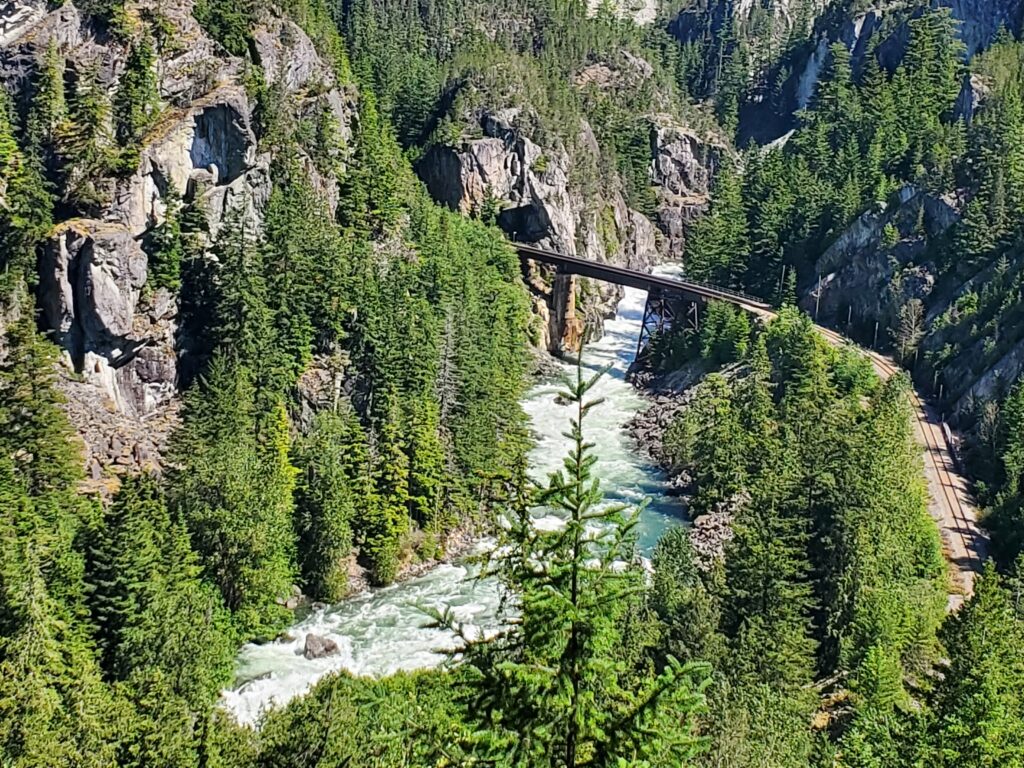
You come around a corner at one point, and if you don’t lift your head at just the right moment, you’d ride past the best view of the day. You’re standing high above the canyon looking down at the silvery ribbon of the river making its way through dense green forest, carving its path between the rocks. There’s a railway bridge that crosses the river and the rocky cliffs are towering over the scene. We had pedaled beside that river just a short while earlier as it charged along, frothing and roiling.
This amazing view refreshes your lagging spirit and you can keep going with fresh zest – or so we told ourselves. Well, that and knowing the worst of the climbing was behind us. There’s one section where there’s some metal grating installed where the trail has eroded away. So there’s metal grating beneath you and a safety fence to your right. You do not want to look to your right to even see where certain death awaits. That was the only harrowing few meters of the whole trail.
There was a swimming spot along the trail and I briefly contemplated the bliss of it. We really didn’t have the time to dawdle but the notion of riding the rest of the way with a wet chamois was the ultimate deciding factor. The next tricky bit was a rail crossing that had large concrete blocks beside it. This section required passing the bike up to another rider standing on the blocks who’d then pass it down to someone behind them. I couldn’t help but think that CN Rail did not want people crossing here.
The next section – or was it before the swimming hole – I don’t remember – was big chunky rocks that were so steep. I rode some of it in that “oh shit, oh shit” way. When I looked up and saw the people ahead of me walking, it shredded the last remaining thread of my confidence, so I dismounted. It’s that delicate balance of keeping enough momentum to keep rolling but also controlling your speed. I was glad to be off my bike, as it just got steeper and at the very bottom of it there was a huge step down that would not have been rollable.
Once we were through the rough rocky section, it flowed easily down to the river. This was where my effort to navigate the trail north bound from the campground had previously been thwarted. It was great to be in familiar territory. The next 10-15km were mostly flat so good to make up some time. It was hot and dusty but my hydration pack still delivered cool and refreshing hydration. The trick was just to swallow the first few warm mouthfuls from the water in the exposed tube being warmed by the sun. 40km into a 60km ride in the sweltering heat, this small thing felt like a major win. Between the cold water, feeling pretty good and now knowing where we were and what lay between us and the finish line, we were doing great.
There was one more rest stop at Fergies. The left turn into Fergies on a sunny Sunday during the brunch hour was questionable, but still worth it for more of that juicy watermelon and a chance to top up on electrolytes and water. Getting back on the road was equally challenging, but with about 15km to go, the end was in sight.
We ended up riding with some of the same people a few times. One group was a woman I know from Muddbunnies years ago, riding with her friends. There were also 2 sisters on ebikes who I think wanted to ride with us for navigation help.
The next logistical challenge was crossing the highway at Alice Lake to get to Wonderland on a hot, sunny day when everyone is on the highway trying to find a lake. There’s also the traffic trying to leave Alice Lake for those early birds already burnt to a crisp before lunch. We got across eventually and made our way down Wonderland which was just the gleeful descent we were all looking for after some slogging to get from Fergies to Alice Lake. We made our way over Looking Glass and then just on the bike path to the Adventure Centre where the finish was. There was a BBQ with a burger, and delicious cob of corn and still more watermelon. It was all served with loads of satisfaction at having finished the ride.
People continued to roll in while we at our lunch but we never saw the sweep that Debra has so strategically befriended.
It was such a great day. I didn’t love that chunky rocky descent and I don’t know that I ever want to do that trail uphill. The section between Pinecrest and the Chance Creek Bridge was definitely my favourite. Linking that up to the Brandywine-Whistler section dould make a great day on the bike.
Highly recommend this event – registration is already open for next June.
But now my bike needs some love before my big Chilcotins adventure next week.